How big is Courmayeur?
Courmayeur has 100 trails served by 20 lifts — 21st for trails of the 30 resorts we track in Italy.
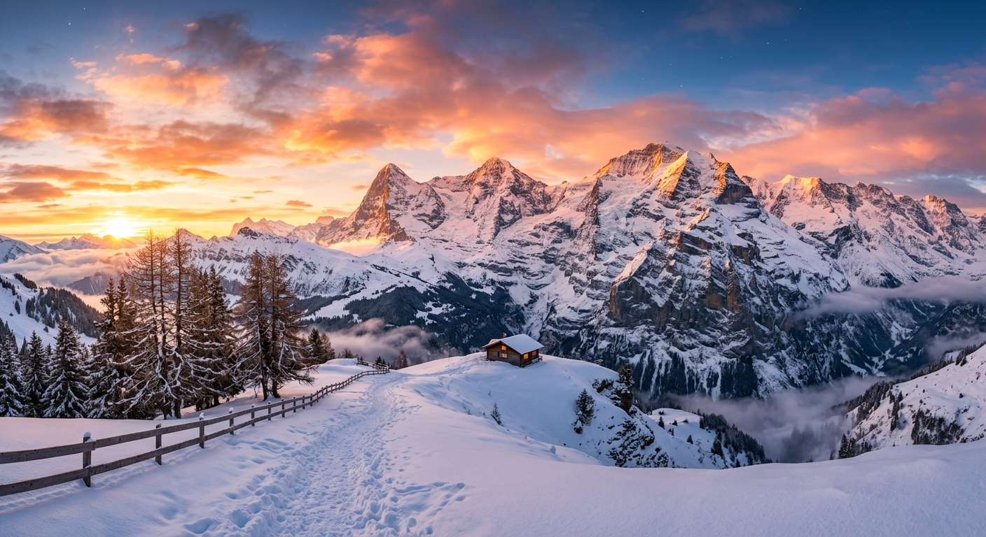
Aosta Valley, Italy
Challenging terrain at the foot of Mont Blanc
Courmayeur offers challenging skiing with stunning Mont Blanc views, excellent off-piste opportunities, and authentic Italian alpine charm.
Courmayeur has 100 trails served by 20 lifts — 21st for trails of the 30 resorts we track in Italy.
The lifts run from 4,016ft at the base to 9,042ft at the top, a vertical of 5,026ft. Of the 30 resorts we track in Italy, that is the 15th highest, with the 5th biggest vertical.
The trails at Courmayeur split 25% beginner, 35% intermediate and 40% advanced, against an average of 32% beginner and 24% advanced across the resorts we track in Italy.
On those numbers it suits confident skiers and riders looking for steep terrain.
Over the last ten winters Courmayeur has typically held skiable snow at mid-mountain from around November 11 to June 12, about 215 days.
December is the best all-round month on the record, with an average base of 47in, 55in of new snow and 4.9 bluebird days.
Month-by-month snow history →The nearest airport with scheduled flights is Annecy Meythet (NCY), France, 43 mi away in a straight line. Geneva (GVA), Switzerland is 52 mi, Turin (TRN) is 52 mi. Road distances are longer, often much longer in the mountains, and the nearest airport is not always the one with the most flights.
A 6-day adult Courmayeur Mont Blanc costs €352 for 2025/26, or €59 a day. For value it ranks 23rd of the 30 resorts we price in Italy.
Full lift ticket prices and history →Airports with scheduled flights, nearest first. Distances are straight-line; by road they are longer, and in the mountains often much longer.
Pick the airport you fly from for an estimate of the journey to the resort.
Likely needs a connection: 2h 30m added
Likely needs a connection: 2h 30m added
Estimates from straight-line distances, not timetables: flights at typical cruising speed plus taxi and climb, ground transfers at an average 40 mph. They leave out check-in and baggage time, and mountain roads in snow can take much longer. Check with airlines and transfer companies before booking.
€59 per day · 1.7 km of trails per € · #23 of 30 for value in Italy
We publish a trail map only once we have checked it against the resort's own file, and we do not yet have a verified map for Courmayeur. Most resorts release the new season's map between October and December, so this page will fill in as winter approaches. In the meantime, Courmayeur has 100 trails and 20 lifts, running from 4,016ft to 9,042ft.
Official resort website: courmayeur.it
Distances are straight-line, not by road.