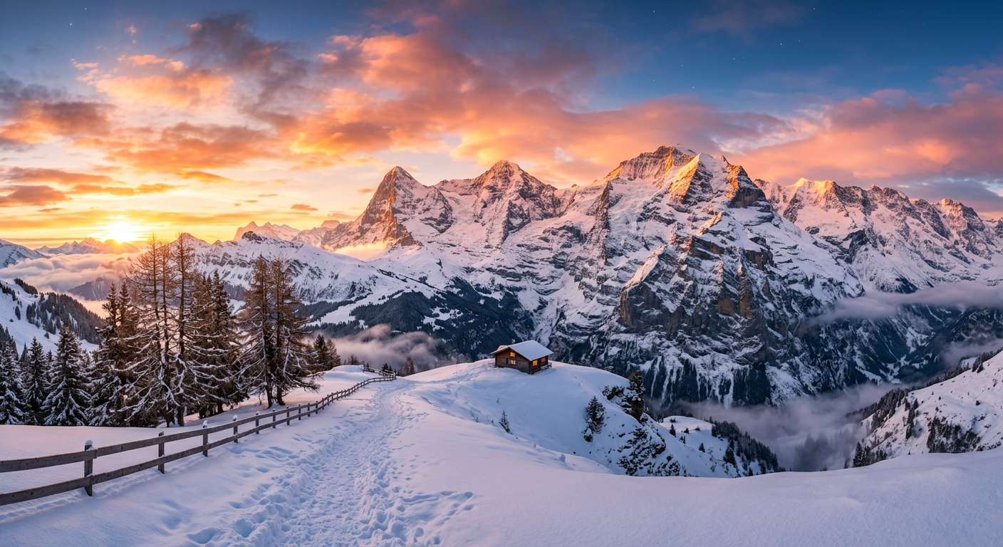
Clear sky at mid-mountain, 41°F at Selva di Val Gardena, South Tyrol, Italy. The mountain runs from 5,128ft to 8,261ft, a vertical of 3,133ft, across 175 trails served by 58 lifts. No significant snowfall is forecast at the summit over the next seven days.
Base · 5,128ft
47°F
☀️ Clear sky
Today high / low
53° / 35°
Snow today
0in
Wind
1 mph
Mid-mountain · 6,696ft
41°F
☀️ Clear sky
Today high / low
46° / 35°
Snow today
0in
Wind
2 mph
Summit · 8,261ft
35°F
☀️ Clear sky
Today high / low
42° / 30°
Snow today
0in
Wind
4 mph
Selva di Val Gardena 7-day snow forecast
Seven day weather and snowfall forecast for Selva di Val Gardena, by elevation.
Day
Conditions
Summit snow
Mid snow
Base snow
Base temp
Sun Oct 11
🌫️ Fog
0in
0in
0in
53° / 35°
Mon Oct 12
🌫️ Fog
0in
0in
0in
51° / 35°
Tue Oct 13
☁️ Overcast
0in
0in
0in
54° / 33°
Wed Oct 14
🌧️ Light rain
0in
0in
0in
58° / 44°
Thu Oct 15
🌤️ Mainly clear
0in
0in
0in
59° / 43°
Fri Oct 16
☁️ Overcast
0in
0in
0in
60° / 46°
Sat Oct 17
☁️ Overcast
0in
0in
0in
57° / 42°
Forecast updated Oct 11, 2026, 8:15 AM. Snowfall is modelled at each elevation, so summit totals are usually higher than the base.
We publish a trail map only once we have checked it against the resort's own file, and we do not yet have a verified map for Selva di Val Gardena. Most resorts release the new season's map between October and December, so this page will fill in as winter approaches. In the meantime, Selva di Val Gardena has 175 trails and 58 lifts, running from 5,128ft to 8,261ft.